
Ionia State Recreation Area
2880 West David Highway
Ionia, MI 48846
616-527-3750
Ionia, MI 48846
616-527-3750
We Camped Here on...
06-17-2005Park Description from the State website
Rolling hills, babbling brooks, open meadows, forested ridges, a lake nestled in the hills and a river winding its way through woods and fields -- that's Ionia Recreation Area. The 4,500 acres of flat to rolling terrain is a mixture of open field, mature hardwood forest, and pine plantations. Four miles of Grand River floodplain follow the river course on the north border of the park. Dammed waterfowl floodings and other wetlands dot the park. Wildflowers abound. Birding is excellent with more than 199 species identified by the Audubon Society.Three picnic areas and 800 feet of beach on Sessions Lake can be used for swimming and sunbathing. The Beechwood Picnic Area has a ball field, volleyball court and hiking trails. The Point Picnic Area is on the east of side of Sessions Lake and has hiking trails and a fishing pier. The Riverside Picnic Area is located between Riverside Drive and the Grand River. With four miles of river frontage, this area offers play equipment, a mountain bike trail, and a rustic boat launch for canoes and rowboats.
There are 3.5 miles of hiking trail loops within the park that traverse woods, streams, lake shore, meadows and river bottom areas.
There are 15 miles of equestrian trails throughout the park. These trails travel through acres of beautiful scenery. Horses are allowed on designated trails only.
Nine miles of designated mountain bike trails are available that travel through wetland, meadows, and a wooded trail along the Grand River. The Chief Cob-Moo-Sa Trail (Brown and Yellow Loops) are shared with hiking.
Campground Info from the State website
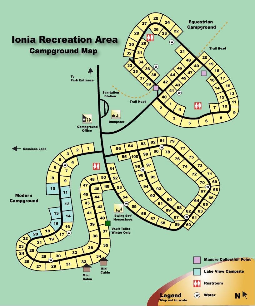
100 sites and 2 mini-cabinsHow to get to the Campground
Drive west on I-96 (99 miles from I-275) past Lansing to Jourdan Lake Road exit 64. Drive north for 3.6 miles straight up into the park entrance.These directions have NOT been verified.
-- driving map image goes here --
(if available)
(if available)
-- driving map image goes here --
(if available)
(if available)
Downloads from the web
Click here to download a nice printable map (Adobe pdf) of the Ionia State Recreation Area which you can print.Click here to display a large version (one that you can actually read) of the Campground map shown below. You can print the map by right-clicking on it and selecting print.
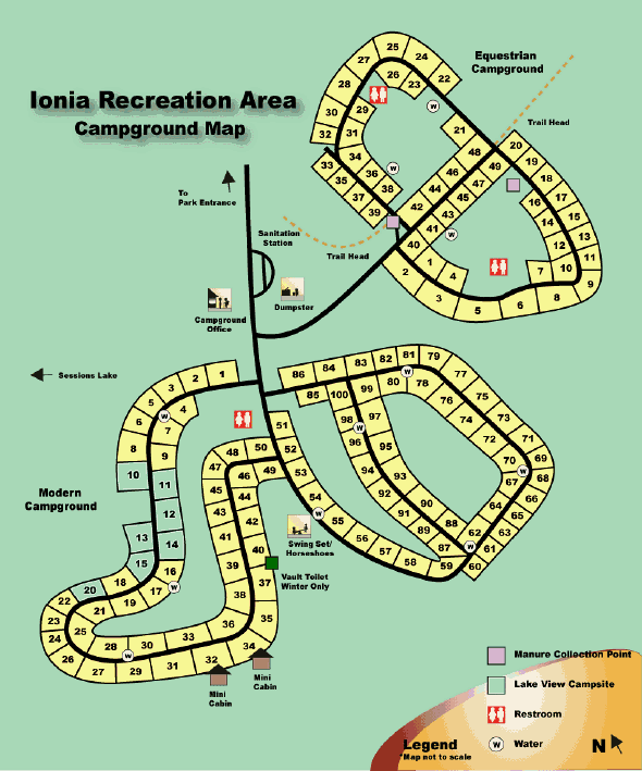 This is an old site map and may be out-dated.